
London Street Atlas
London Street Atlas
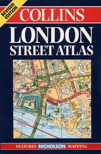
1:20,000, 3.17 inches to 1 mile. 6.4 inches to 1 mile for central area (1:10,000) This handy little atlas features the high quality Bartholomew digital database mapping. A huge amount of detail is contained within the mapping without compromising the clarity. Central London is mapped at a larger scale.
Condition: Used - Good
Couldn't load pickup availability
Share
Collapsible content
Summary
1:20,000, 3.17 inches to 1 mile. 6.4 inches to 1 mile for central area (1:10,000) This handy little atlas features the high quality Bartholomew digital database mapping. A huge amount of detail is contained within the mapping without compromising the clarity. Central London is mapped at a larger scale.
MAIN FEATURES
• Extremely clear, attractive, full colour mapping
• Enlarged central area
• Full index to place and street names
• Theatres and cinemas map, plus shopping map
INCLUDES
• Colour coded primary routes
• Street markets and pedestrian streets
• Borough boundaries plus postal district boundaries and codes
• Colour coded public buildings
AREA OF COVERAGE
Extends from Epping Forest in the north to Chessington in the south and from Hillingdon in the west to Bexley in the east.
WHO THE PRODUCT IS AIMED AT
This atlas, with its huge amount of detail and the clarity of the mapping is an essential purchase for all residents and businesses in and around London.
OTHER PRODUCTS IN THE SERIES
Collins publish a wide range of London mapping, including the prestigious Greater London Street Atlas.
Product Description
Title - London Street Atlas
Edition -
Author -
ISBN 13 - 9780004488288
Imprint - Collins
Publisher - HarperCollins Publishers
Date Published - 01/03/1999
Prize -
No. of pages -
Binding Type - Paperback
Dimensions - 129 x 198 x 18mm
Weight - 472 g
Languages - English