
Kidderminster and Wyre Forest (Landranger Maps)
Kidderminster and Wyre Forest (Landranger Maps)
Condition: Used - Good
Couldn't load pickup availability
Share
Collapsible content
Summary
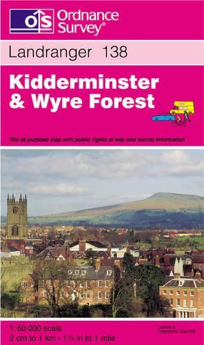
This map is part of the Landranger (Pink) series and is designed for people who really want to get to know an area. It includes the following information: tourist information, camping and caravan sites, picnic areas and viewpoints, selected places of interest and rights of way information for England and Wales. Each map in the series covers an area of 40 km by 40 km (25 miles by 25 miles) and like other Ordnance Survey maps, National Grid squares are provided so that any feature can be given a unique reference number. Perfect for planning ahead and local excursions, these maps are full of useful information that will help you really get to know an area.
Product Description
Title - Kidderminster and Wyre Forest (Landranger Maps)
Edition -
Author -
ISBN 13 - 9780319223093
Imprint - Ordnance Survey
Publisher - Ordnance Survey
Date Published - 01/07/1997
Prize -
No. of pages -
Binding Type - Sheet map, folded
Dimensions - x 240 x mm
Weight - g
Languages -