
Dublin Streetfinder Colour Atlas and Guide
Dublin Streetfinder Colour Atlas and Guide
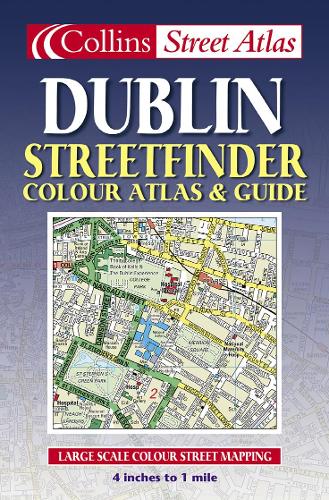
4 inches to 1 mile 1:15,840 approx. Handy full colour street atlas featuring clear, detailed mapping with guide to places of interest in Dublin.
Condition: Used - Good
Couldn't load pickup availability
Share
Collapsible content
Summary
4 inches to 1 mile 1:15,840 approx. Handy full colour street atlas featuring clear, detailed mapping with guide to places of interest in Dublin.
MAIN FEATURES
• Revised full colour mapping with colour classified roads
• Route planning maps showing places of tourist interest
• Full index to streets
• Guide information for Dublin City
INCLUDES
• Important buildings and places of interest
• Car parks and railway stations
AREA OF COVERAGE
From Beaumont in the north to Dundrum in the south, includes Castleknock and Phoenix Park in the west to the coast in the east.
WHO THE PRODUCT IS OF INTEREST TO
The handy format and wealth of information in the product make it an essential purchase for visitors. The large area of coverage and clarity of the mapping will mean that residents and business users will also find it an invaluable product.
Product Description
Title - Dublin Streetfinder Colour Atlas and Guide
Edition -
Author -
ISBN 13 - 9780007147519
Imprint - Collins
Publisher - HarperCollins Publishers
Date Published - 03/02/2003
Prize -
No. of pages -
Binding Type - Paperback
Dimensions - 129 x 198 x mm
Weight - 114 g
Languages - English