

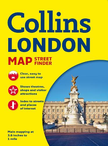
Collins London Streetfinder Map (Collins Map Street Finder)
Collins London Streetfinder Map (Collins Map Street Finder)
Scale: 1:17,500 (3.6 inches to 1 mile).
Full colour street level map of a large area of central London, bound in an attractive card cover. Ideal for tourists.
Condition: Used - Good
Couldn't load pickup availability
Share
Collapsible content
Summary
Scale: 1:17,500 (3.6 inches to 1 mile).
Full colour street level map of a large area of central London, bound in an attractive card cover. Ideal for tourists.
MAIN FEATURES
This attractive tourist map, presented in a durable card cover, has clear full colour mapping at 3.6 inches to 1 mile. It has a wealth of detail, showing colour-coded land use information in addition to the intricate named street network. Key destinations are plotted and named on the map and all the streets and places of interest are fully indexed.
INCLUDES
• Main railway lines and stations.
• Full colour-coded detail.
• Underground map on the back cover.
• Underground stations plotted on map.
• Separate index for places of interest.
AREA OF COVERAGE
From Hammersmith in the west to the Isle of Dogs in the east and from Hampstead in the north to Clapham in the south.
WHO THE PRODUCT IS OF INTEREST TO
Ideal for the tourist or visitor who wants a bit more that just central London.
Product Description
Title - Collins London Streetfinder Map (Collins Map Street Finder)
Edition -
Author -
ISBN 13 - 9780007506507
Imprint - Collins
Publisher - HarperCollins Publishers
Date Published - 25/04/2013
Prize -
No. of pages -
Binding Type - Sheet map, folded
Dimensions - 135 x 200 x 6mm
Weight - 90 g
Languages - English